Thirty Minutes From Rainfall to Rampage: The Engineering Race to Outrun a Flash Flood
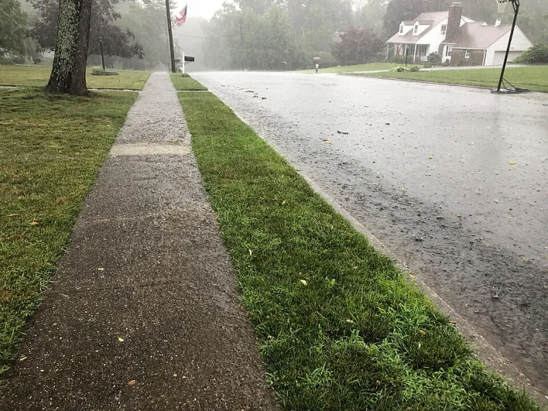
Photo: Famartin, CC BY-SA 4.0, via Wikimedia Commons
In the canyon country north of Phoenix, a thunderstorm can end before its water does. Rain falls on bare rock and desert pavement, sheds almost none of itself into the soil, and gathers into a wall of water moving down a wash at fifteen miles an hour. Hydrologists call it a conversion time problem. First responders call it the reason a family driving home on a Sunday afternoon never made it across the low crossing. The gap between the last raindrop and the first surge is frequently under thirty minutes, and every second of it belongs to the sensing infrastructure.
A Watershed With No Cushion
Flash flooding is a timing problem because of what hydrologists call the rainfall-to-runoff lag. In the forested Appalachians, a rainstorm's energy is absorbed by leaf litter, root systems, and deep soils; a creek may rise over many hours. In an arid mountain watershed — the kind stitched across Arizona, New Mexico, southern Utah, and the burn scars of Southern California — there is no sponge. Post-fire landscapes are the extreme case: hydrophobic soils repel water outright, and lag times collapse toward zero.
The National Weather Service issues flash flood warnings on average less than an hour before peak flow, and in small, steep basins the true detection window can be a fraction of that. The instruments at the front of that pipeline are therefore being judged less on accuracy in the laboratory and more on how quickly a measurement becomes a phone alert.
The Front Line: Rain Gauges Under Pressure
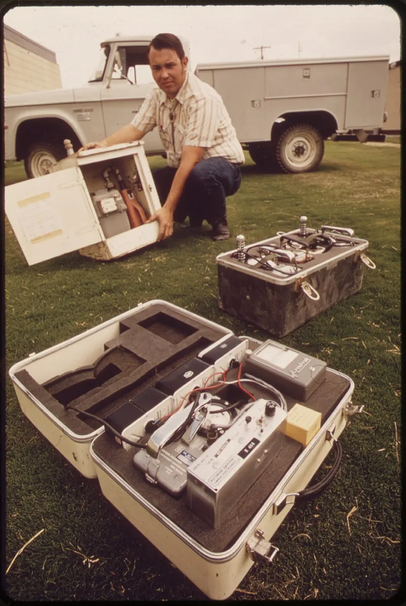
The classic tipping-bucket gauge, still the workhorse of most networks, has a known failure mode in exactly the storms that matter most. At rainfall intensities above roughly four inches per hour, water bridges across the tipping mechanism and undercounts — precisely when a flash flood is forming. Heated weighing-type gauges cost more but hold their calibration through the cloudburst, which is why newer deployments in burn-scar monitoring around Santa Fe and Flagstaff have shifted toward them despite the budget line.
Coverage matters as much as quality. Monsoon storms in the Southwest are small and fast; a gauge network spaced ten miles apart can miss the one cell that produces the flood. That has pushed agencies toward hybridizing point gauges with gap-filled radar rainfall estimates and, more recently, low-cost acoustic disdrometers that classify droplet size and fall speed to sharpen those radar retrievals.
Stream Stage: The Sensor That Must Survive Its Own Measurement
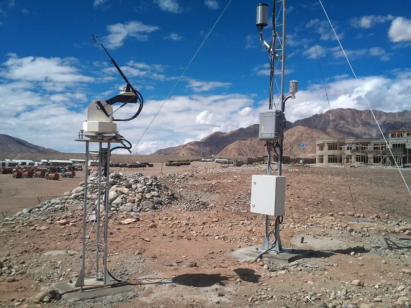
Downstream of the gauges sits the harder instrument. Measuring water level in a channel that carries boulders, logs, and a sediment load closer to wet concrete than to water is punishing. Bubbler systems — which measure pressure needed to push gas through an orifice — avoid the fate of submerged pressure transducers, which clog, foul, or get sheared off by debris. Radar stage sensors mounted above the channel avoid contact entirely but struggle with spray and steep, aerated flow surfaces.
The telemetry question is where latency quietly accumulates. Many alerting stations still report on hourly schedules to conserve satellite bandwidth; a five-minute reporting interval is an upgrade that must be argued for, funded, and maintained. Several county flood control districts in Arizona have moved their critical stations to cellular and Iridium dual-path telemetry with event-triggered reporting, so the sensor calls home the moment the hydrograph turns — not when the scheduled window opens.
Shrinking the Pipeline
A warning is a chain: sensor to telemetry to data platform to hydrologic model to forecaster to dissemination. Each hop adds seconds; some add hours. Newer systems compress the back half with machine-learning nowcasts that ingest radar, gauge, and stage data to project basin response fifteen to thirty minutes ahead. The front half is being compressed physically — denser networks, faster reporting, edge processing that runs a threshold check at the sensor itself and transmits only when something looks wrong.
The economics are unglamorous but decisive. A denser network means more batteries, more calibration visits, more radios to fail in July heat. Maintenance budgets, not sensor physics, set the real detection floor in most counties.
Why the Southwest Sets the Ceiling
Arid terrain concentrates every difficulty at once: sparse populations justify sparse instrumentation, extreme temperatures punish electronics, cell coverage dissolves in canyon shadows, and the hydrology itself is the fastest in the nation. Getting five minutes back in a Virginia creek is an instrumentation problem. Getting five minutes back in an Arizona wash is an instrumentation, power, telemetry, and fiscal problem wearing the same raincoat.
The encouraging trend is that the pieces exist and are converging — weighing gauges where it counts, event-driven telemetry, radar-blended nowcasts, and burn-scar risk maps that tell engineers where to spend the next dollar. The five-minute storm will not be defeated by one sensor. It will be defeated by a pipeline that loses no time anywhere along it.